Snap to it – how you can play a simple part in World Ocean Day
Published on 08 June 2023

When it comes to protecting our blue planet, there are small, achievable, and even fun ways the Shoalhaven community can get involved to bring about real change.
As we look to celebrate World Ocean Day on 8 June, Council is raising awareness about the crucial role our community can play to monitor coastal change through our CoastSnap photo competition.
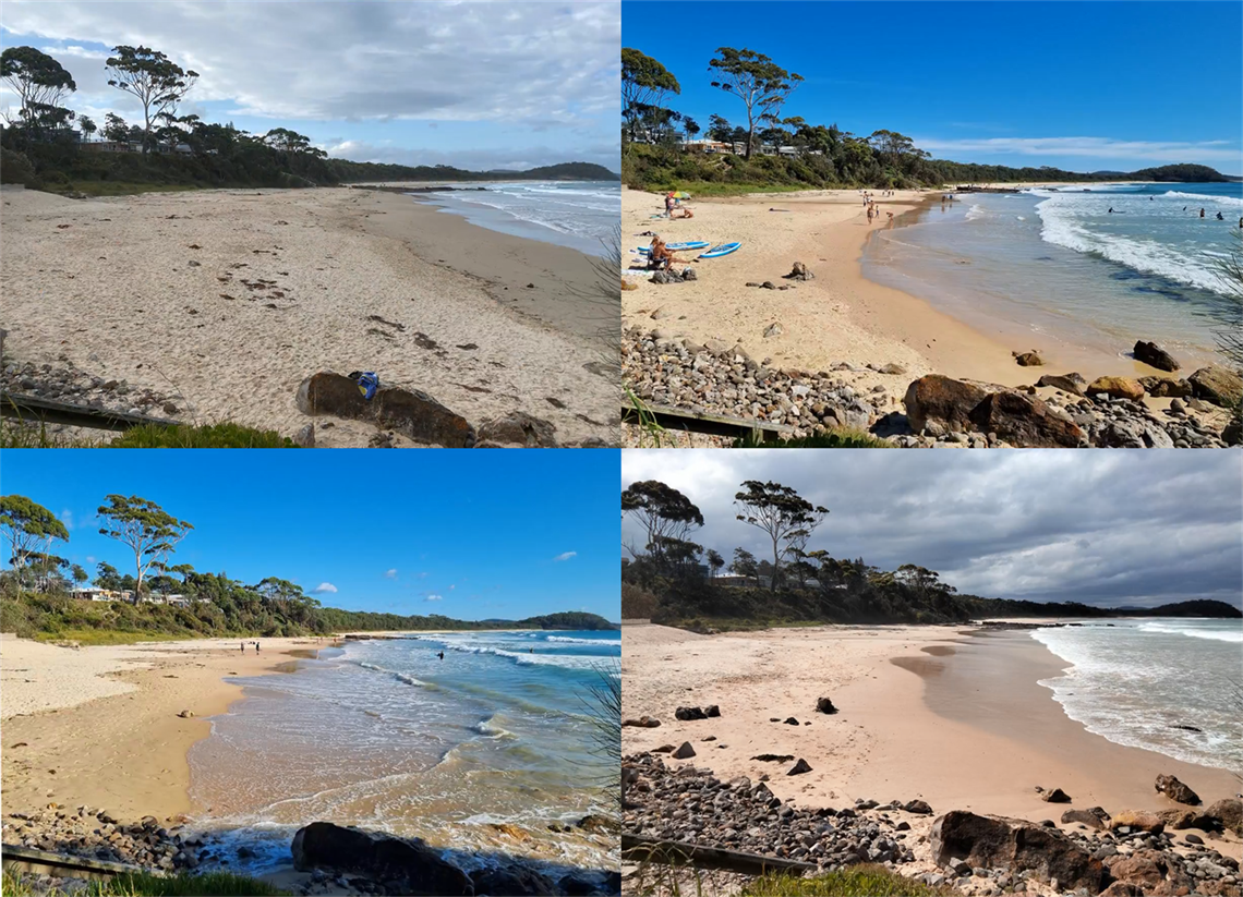
CoastSnap uses community smartphone images to monitor our shorelines, tracking and collecting data on coastal erosion and the condition of our beautiful beaches. Each monitoring station includes an easy-to-use smartphone cradle and accompanying signage with instructions and hashtags.
Mayor Amanda Findley invited everyone to become a beach scientist throughout June to mark World Ocean Day.
“From Seven Mile Beach to North Durras, we have 165 km of precious coastline that connects us all,” said Cr Findley.
“World Ocean Day gives us the opportunity to better understand our changing coastline through a simple photo at a CoastSnap location,” she said.
“This embodies the ‘Think global, act local’ philosophy with the entire community able to play a hands-on role in conservation whenever they visit the beach.”
Every photo taken throughout June puts the ‘coast snapper’ into the draw to win! Prizes include a $250 voucher to use at a Holiday Haven resort, and a double pass to the Bangarra Dance Theatre Production of Waru at the Shoalhaven Entertainment Centre.
How to enter the competition
- Head to your closest CoastSnap location
- Download the ‘CoastSnap App’ Download for Android | Download for Apple and create an account
- Select the CoastSnap station for your location
- Place your phone in cradle and snap a photo (no zoom)
- Upload to the CoastSnap station on the app or social media using the station hashtag
- enter before Friday 30 June.
CoastSnap monitoring station locations
- Boat Harbour (Bendalong)
- Currarong Beach
- Callala Bay Wharf
- Kioloa Beach
- Nelsons Beach
|
- North Mollymook Beach
- Racecourse Beach
- South Mollymook Beach
- South Narrawallee Beach
|
About CoastSnap
CoastSnap is a global citizen science project conducted through collaboration with the University of NSW’s (UNSW) Water Research Laboratory team. UNSW collect the uploaded information to understand how coastlines are changing through time due to predicted sea level rises, extreme storms, large tides, heavy rainfall and flooding. This information is used to improve the way coastlines are managed into the future. More information on CoastSnap can be found here.
Financial and technical support for this project is being provided by the NSW Government through its Coastal Management Program.