Become a beach scientist with CoastSnap
Published on 01 September 2022

We now have eyes on the shoreline across a number of our Shoalhaven beaches thanks to an initiative called CoastSnap.
CoastSnap is a global citizen science project that uses community smartphone images to monitor coastal erosion.
This initiative allows the community and its visitors an opportunity to become involved in tracking the local shoreline and monitoring the condition of the beaches.
Each monitoring station includes an easy-to-use smartphone cradle and accompanying signage with instructions and hashtags.
How it works:
- Download and open the ‘CoastSnap App’ Download for Android | Download for Apple and create an account.
- Select the CoastSnap station for your location.
- Put your phone in cradle and snap a photo (no zoom).
- Upload to the CoastSnap station on the app or social media using the station hashtag.
Shoalhaven City Council Mayor Amanda Findley said, “Our CoastSnap cradles have been strategically installed in locations that are easily accessible to the public yet capture a sizeable distance of beach for data collection. Using the cradle helps create consistent image positioning, so when passers-by take a photo of the coast, it provides a crowd-sourced record of coastline changes over time.”
“This information is then analysed by the CoastSnap app and quickly alerts us of any changes, which will improve our ability to forecast changes and improve our conservation measures.”
"We have partnered with UNSW Water Research Laboratory and NSW Department of Planning and Environment to install the four CoastSnap monitoring stations across the Shoalhaven," said Mayor Findley.
First established in Sydney in 2017, the network of CoastSnap stations has grown rapidly over the past five years to now encompass 200 monitoring locations in 21 countries. With the addition of Shoalhaven’s four new CoastSnap stations, there are currently 74 stations Australia wide.
You can find the CoastSnap monitoring stations at:
- South Mollymook beach
- South Narrawallee beach
- Callala Bay Wharf
- Currarong beach
If you have a smartphone and love the beach, we encourage you to participate.
For more information, visit our CoastSnap webpage.
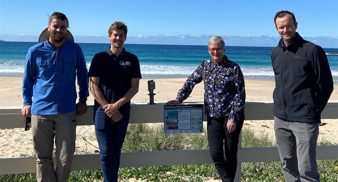
Photo: Nigel Smith (Shoalhaven City Council, Lead Coastal Management), Chris Drummond (Senior Coastal Engineer, UNSW), Mayor Amanda Findley and Dr Michael Roberts (Shoalhaven City Council, Manager of Environmental Services).